Highly Pathogenic Avian Influenza (HPAI) continues to circulate in the environment and is a threat to the poultry sector in Canada. Other diseases such as Newcastle disease, Avian metapneumovirus (aMPV), and Infectious Laryngotracheitis (ILT) also continue to be of concern to the sector, particularly in British Columbia and Ontario. These diseases lead to decreased production efficiency and higher mortality due to depopulation, with economic, environmental and societal impacts.
This innovation project will develop improved disease mapping and prediction tools, control zone monitoring and communications technology for the Canadian poultry sector. This technology advancement will enhance enable the sector to take quick action to prevent and control disease outbreaks including when establishing control zones and identifying where heightened biosecurity is needed.
Anticipated outcomes :
- Enhanced disease mapping software features will simplify and speed up how organizations and governments create and manage disease control zones across multiple livestock or poultry species. The ability to create reports of registered farm premises using a defined radius or area will allow for faster communication with operations at risk. The ability to integrate the finished static map or interactive (live) map on websites will provide everyone in the industry with instant access to control zones.
- Create a data structure for multiple commodities to be maintained in separate databases with the ability to quickly combine those databases when there is a common disease risk. For Ontario’s poultry sector, this will mean that premise data for eggs, broilers, turkeys and hatching egg farms can be merged as needed for outbreak or control zone mapping work, while still respecting privacy.
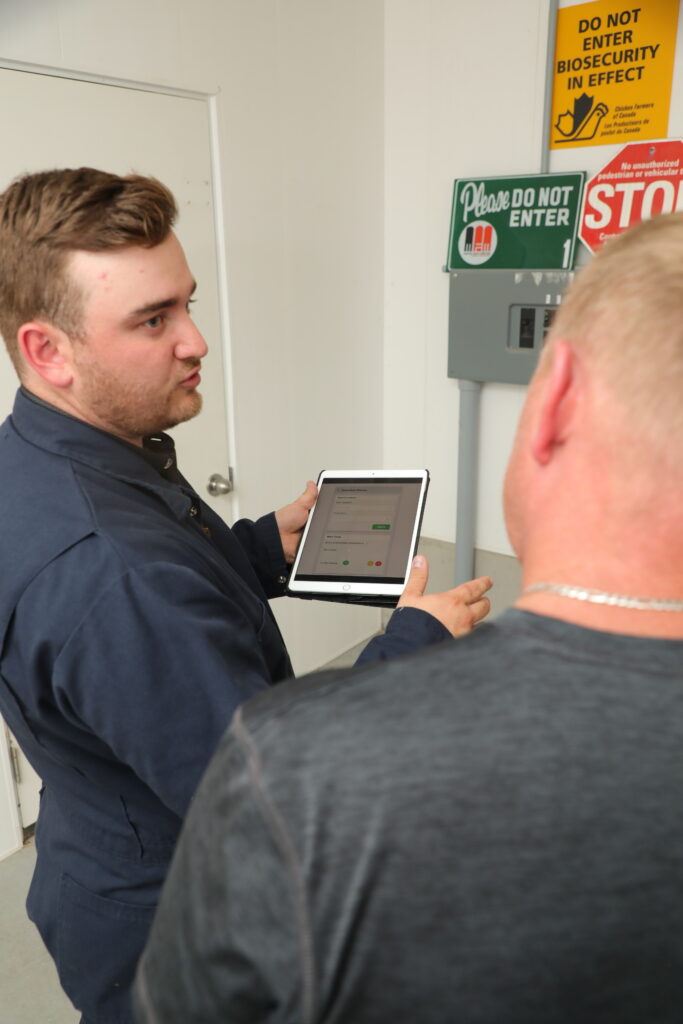
- Farm Health Guardian (FHG) transport biosecurity breach alerts and GPS technology will monitor if poultry vehicles enter a restricted zone in real time. This will facilitate improved compliance and verify that control zones are being respected. It will also speed up disease investigations by identifying vehicles that have entered control zones.
- Investigate the potential to track and map migratory bird patterns with the goal of providing farmers with alerts to heighten biosecurity measures when migratory bird presence is predicted in their area.
Enhanced disease mapping and the ability to quickly take action if control zones are breached will prevent disease spread and protect healthy flocks. Expected benefits to the sector include improved (faster, more accurate) disease response resulting in reduced disease pressure.
For more information, please contact Rob Hannam, Founder and CEO, Farm Health Guardian, at rhannam@farmhealthguardian.com.